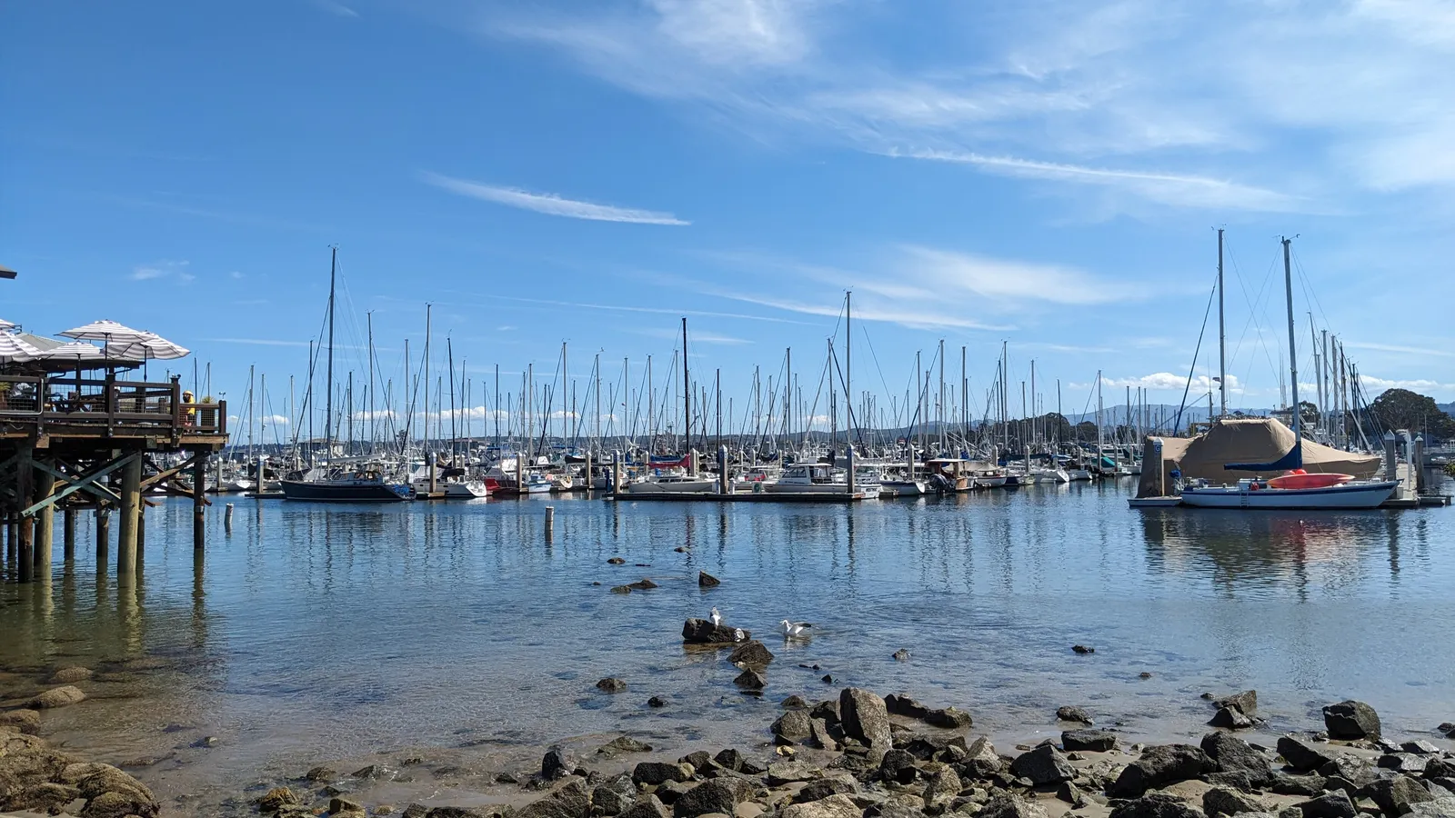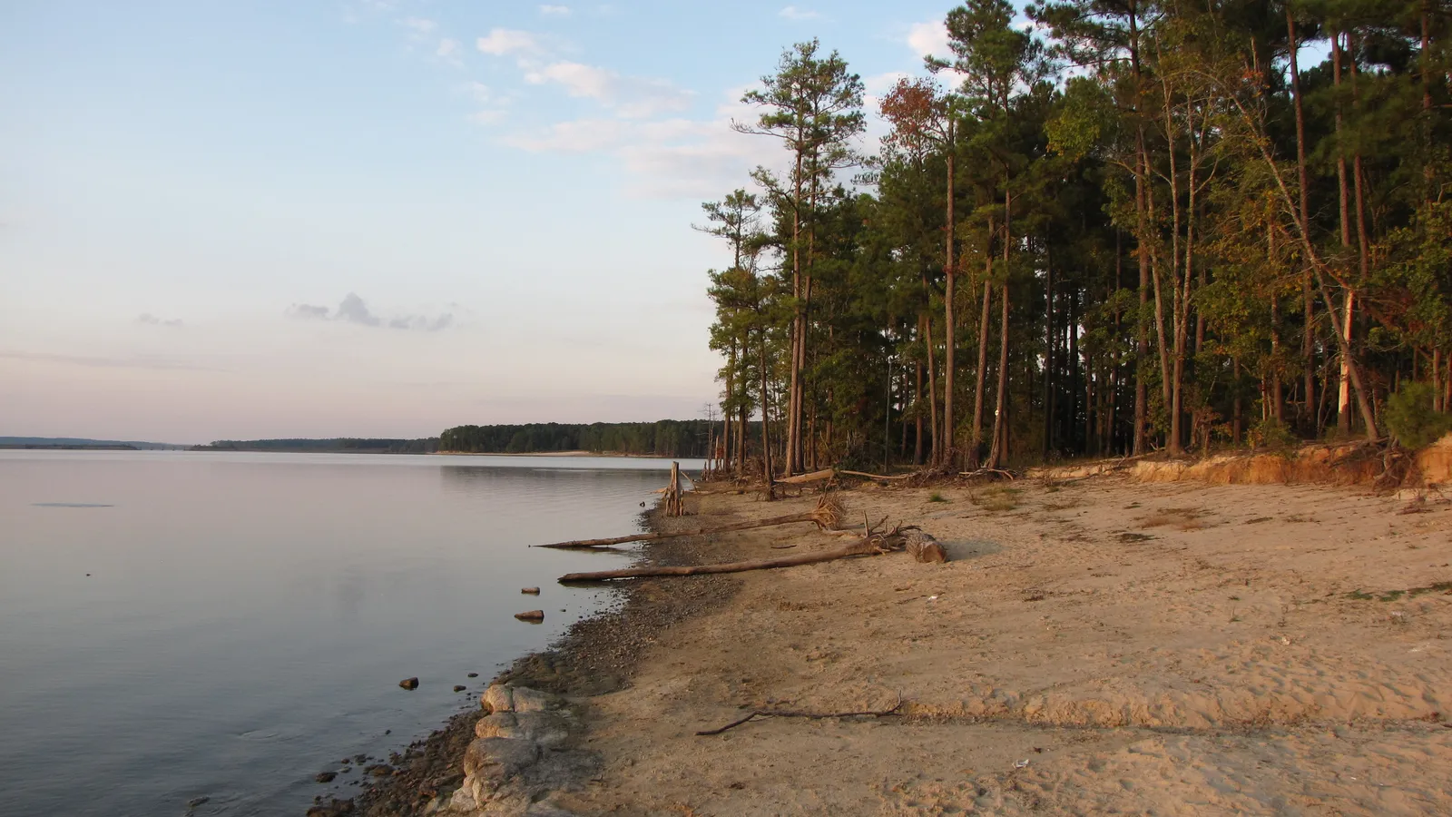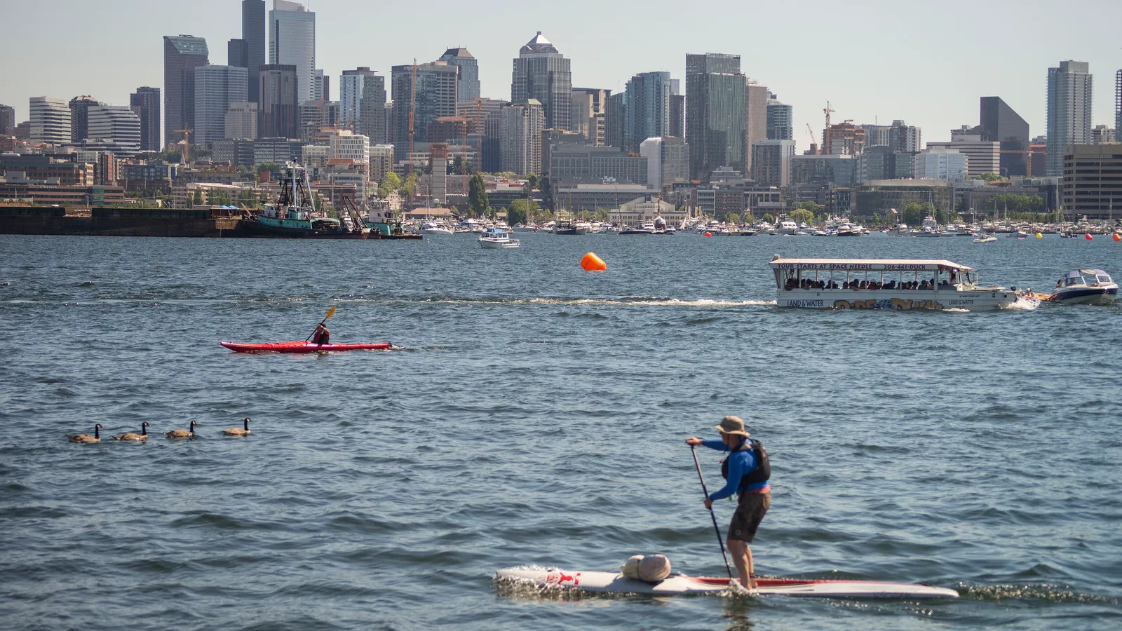
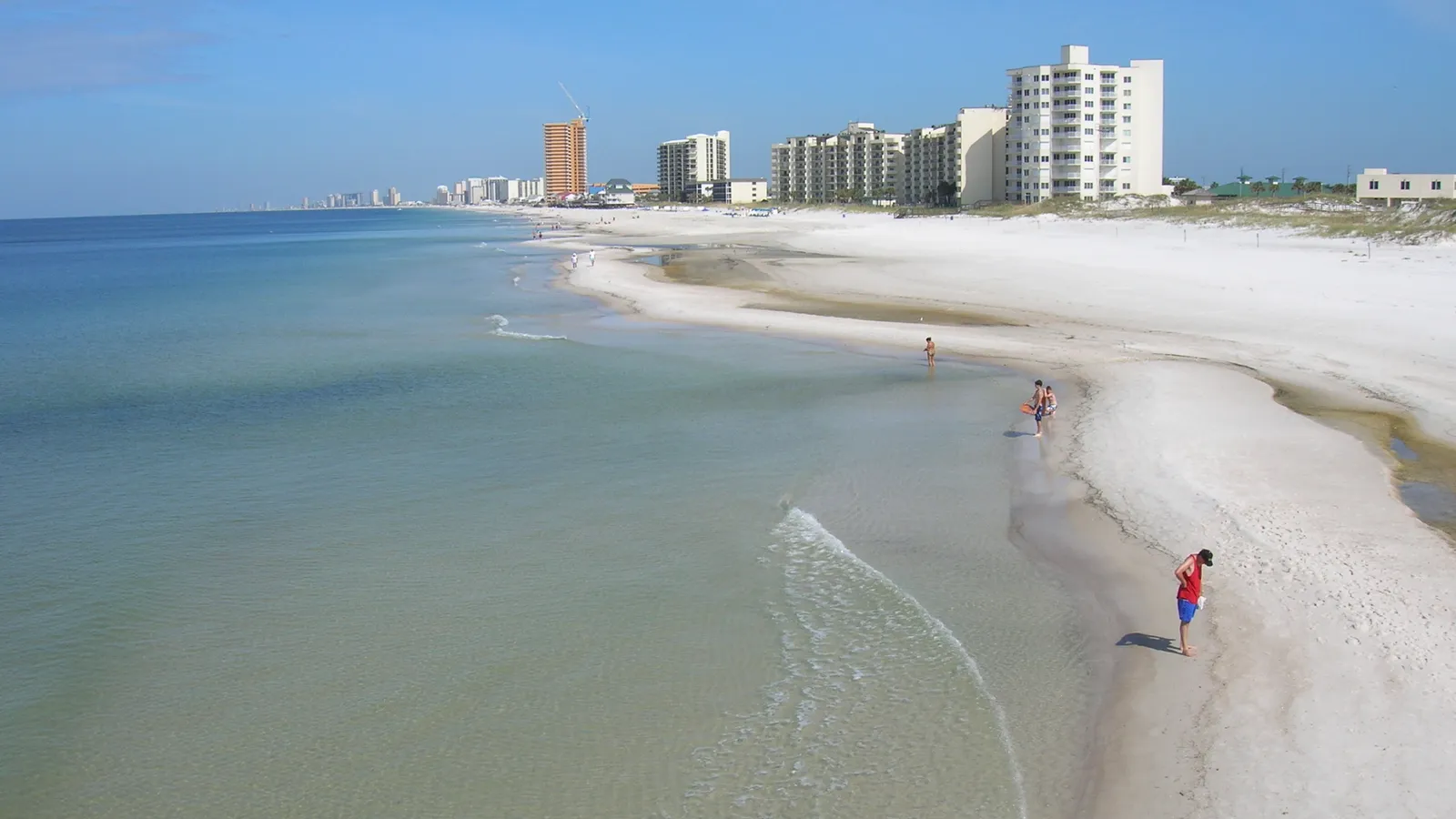
Grand Lagoon, on the bay side of St. Andrews State Park, is the best place to paddle board in Panama City Beach for beginners: the water is calm, it’s away from the Gulf surf, and the park has a boat ramp and seasonal board rentals. For something quieter and wilder, paddle Lake Powell at Camp Helen State Park, Florida’s largest coastal dune lake, at the west end of town.
Panama City Beach works for paddling because it has sheltered water right behind the beach. St. Andrew Bay, Grand Lagoon and Lake Powell give you calm options on windy days, and on flat summer mornings the Gulf itself turns clear and glassy. The water is warm for much of the year, and you may see dolphins in the bay and lagoons.
Quick answer
- First time on a board: Grand Lagoon, launching from St. Andrews State Park.
- Wildlife and quiet water: Lake Powell at Camp Helen State Park, with board rentals in the park.
- Most famous: Shell Island, an undeveloped barrier island across the pass from St. Andrews State Park. Take the shuttle unless you’re an experienced paddler.
- Clear Gulf water: the Gulf beaches on calm, single-flag mornings only.
- Rentals in town: Mr. Surf’s Surf Shop on Thomas Drive.
The best places to paddle board in Panama City Beach
Grand Lagoon at St. Andrews State Park
Directions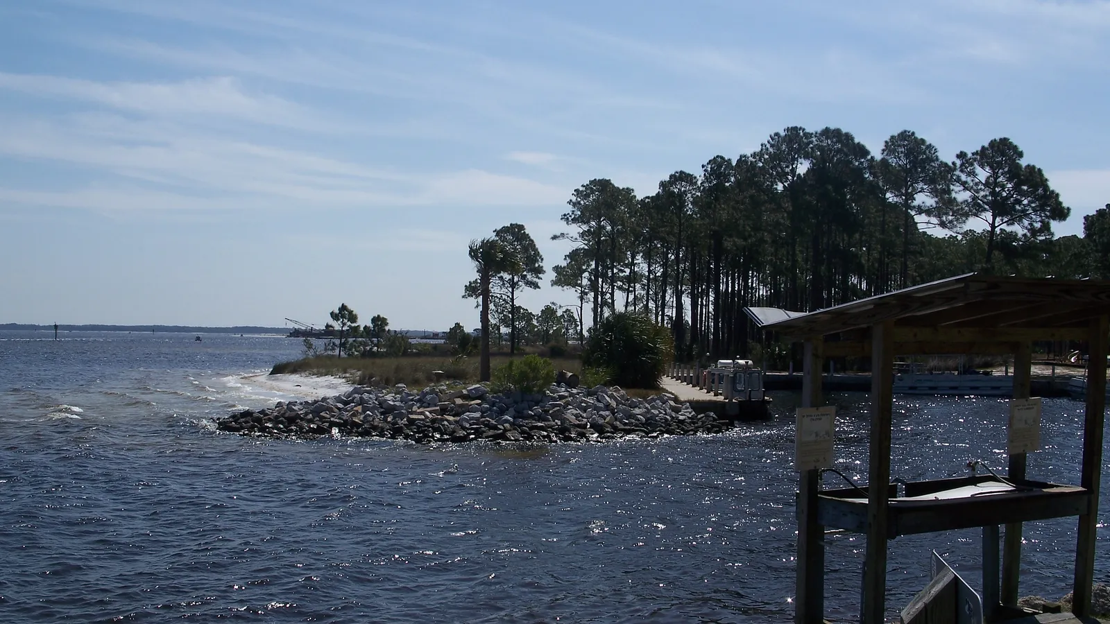
Best for: beginners and families. Flat bay water.
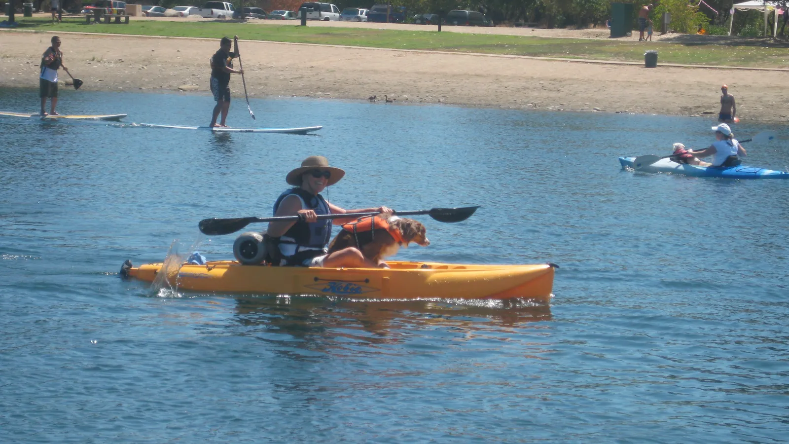
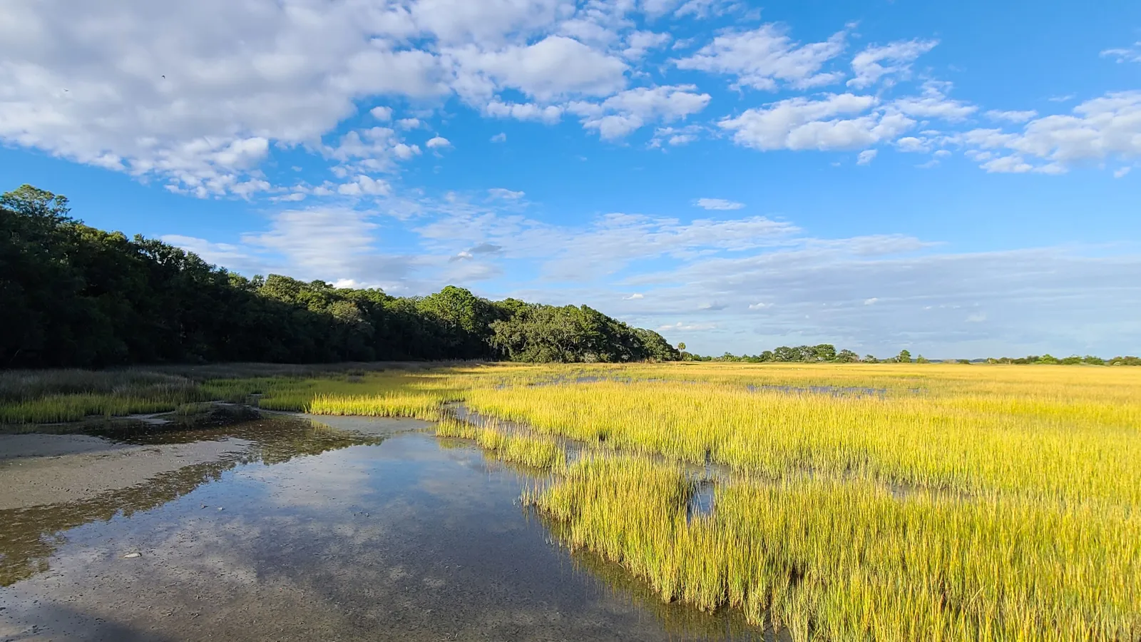
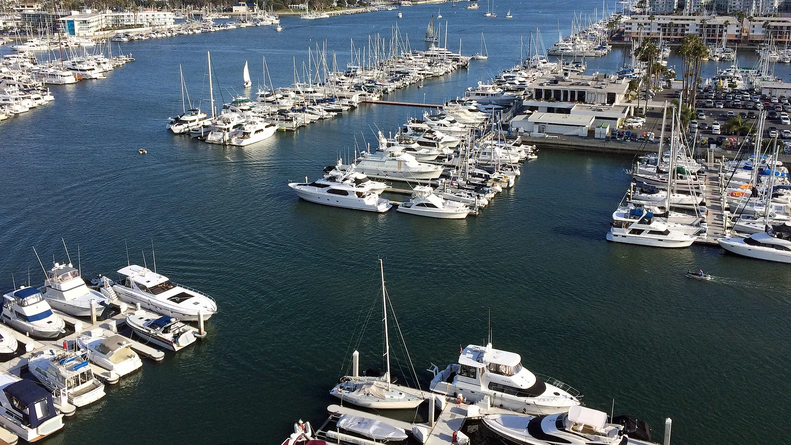
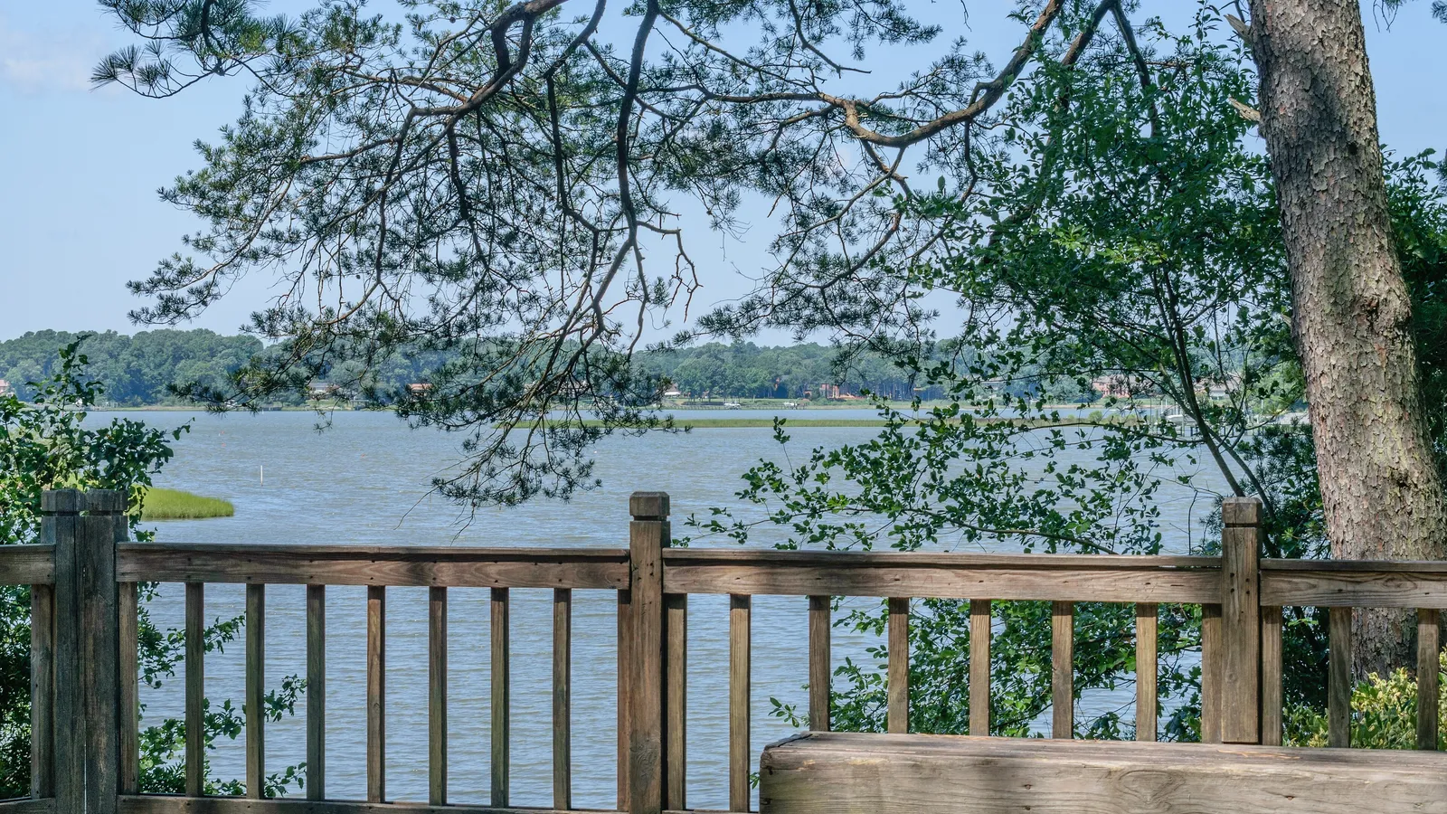
Grand Lagoon is the long, protected inlet between Thomas Drive and St. Andrews State Park, at the east end of Panama City Beach. On the park side, you’re paddling along pines and marsh rather than condos, and it’s well away from the Gulf waves. Visit Panama City Beach calls the lagoon’s calm waters a highlight for paddlers.
Where to launch: St. Andrews State Park (4607 State Park Lane) has a boat ramp on the Grand Lagoon side, near the campground. The park is open 8 a.m. to sundown every day, and entry is $8 per vehicle at the time of writing.
What to avoid: The lagoon is busy with boats heading out to the Gulf and to Shell Island. Stay near the shore, and don’t drift toward the mouth of the lagoon, where it meets the busy channel.
Rentals and lessons: The park rents kayaks and paddle boards through its concessions on a seasonal basis. In town, Mr. Surf’s Surf Shop (7220 Thomas Drive) rents paddle boards by the hour, day or week, and runs paddleboard lessons; call the shop for prices.
Good to know: The shallow, jetty-sheltered “kiddie pool” on the park’s channel side is a swimming spot for families. Don’t paddle through it.
Lake Powell at Camp Helen State Park
Directions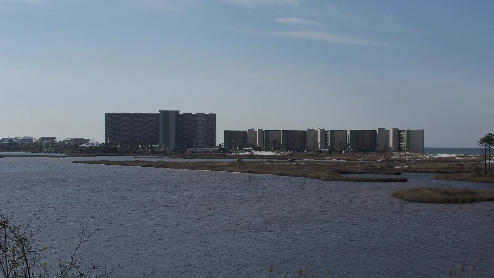
Best for: quiet paddling and wildlife. Flat water.
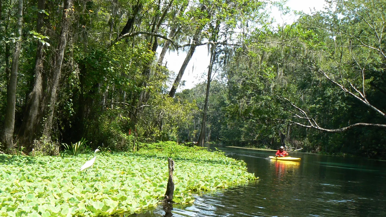
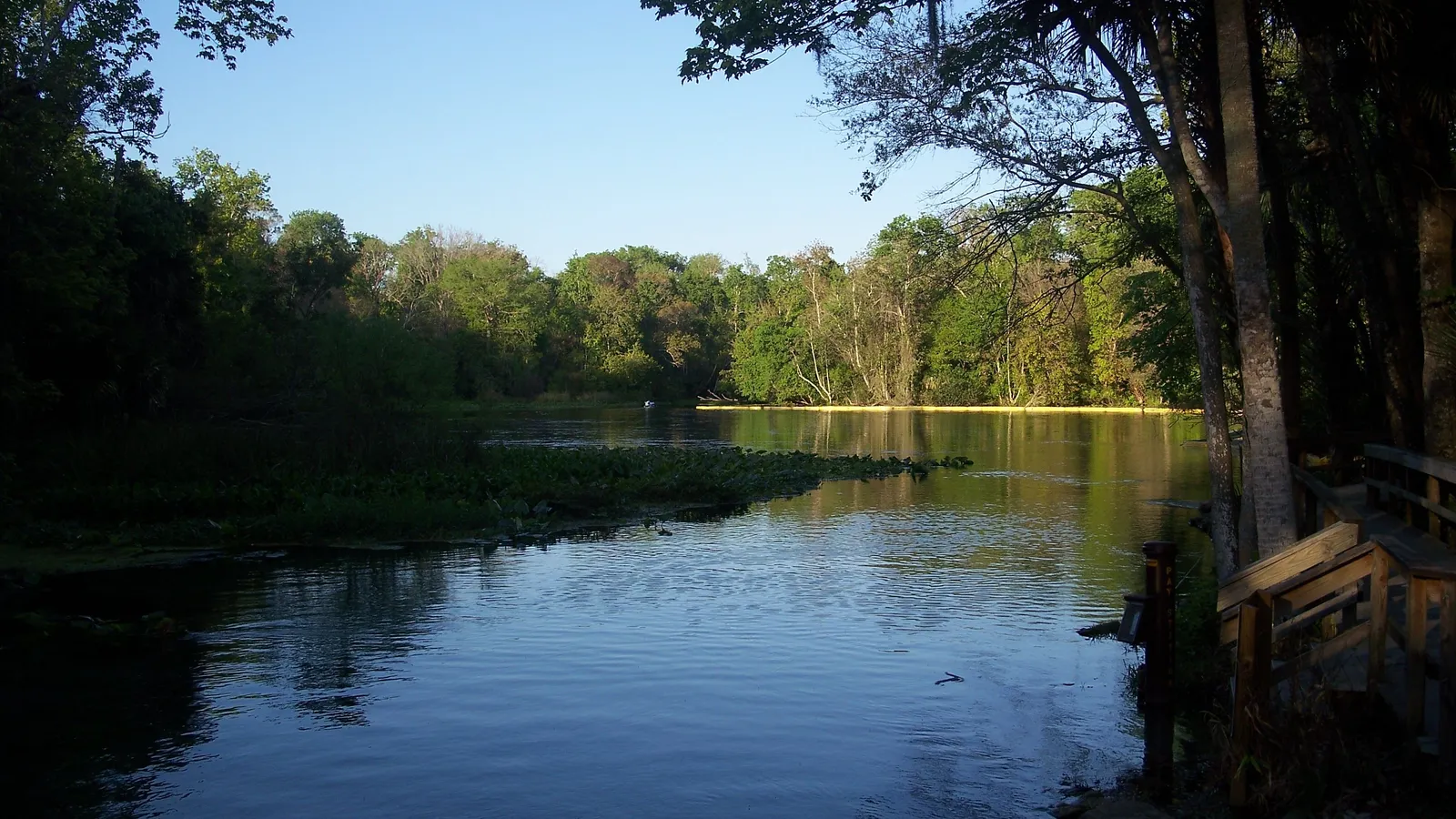
Lake Powell is the largest coastal dune lake in Florida. These rare lakes sit just behind the beach, and every so often the lake breaks through to the Gulf at an outfall. When it does, both freshwater and saltwater fish come in. On a paddle you may see herons, egrets, ospreys, river otters and the occasional dolphin.
Where to launch: Camp Helen State Park (23937 Panama City Beach Parkway) has a public kayak launch at the trailhead of the North Trail. It’s a hard-surface path about 375 feet from the parking lot to the water, so a cart helps if you’re bringing your own board. A park entry fee applies.
Rentals: The park rents single and tandem kayaks and paddle boards, from 9 a.m. to 5 p.m. At the time of writing, a paddle board costs $25 an hour or $65 for a half day. Call the park (850-238-1900) to check what’s running before you go.
What to avoid: Stay out of the outfall channel when it’s open, and keep to the lake.
Shell Island
DirectionsBest for: experienced paddlers, or anyone taking the shuttle. Calm water behind the island, but a rough crossing.
Shell Island is an undeveloped, 7.5-mile stretch of barrier island just across the pass from St. Andrews State Park. The bay side, facing St. Andrew Bay, is sheltered by the island and makes for an easy, scenic paddle once you’re there.
Getting there: The Shell Island Shuttle runs from St. Andrews State Park every half hour from 10 a.m. to 4 p.m. and drops you near the jetties. Check with the shuttle before you go whether you can bring a board. Experienced paddlers can cross from the park, but it’s not a casual paddle.
What to avoid: Paddlers who’ve made the crossing describe currents that can run faster than you can paddle, steep waves, and fast fishing boats that aren’t looking for paddle boards. If you go, pick a calm weekday morning, check the tides, wear a life jacket and leash, and stay well clear of the jetties, where boat wakes bounce off the rocks.
Good to know: The island is undeveloped, so bring water, shade and sun protection, and take your trash home.
The Gulf, on flat days
Directions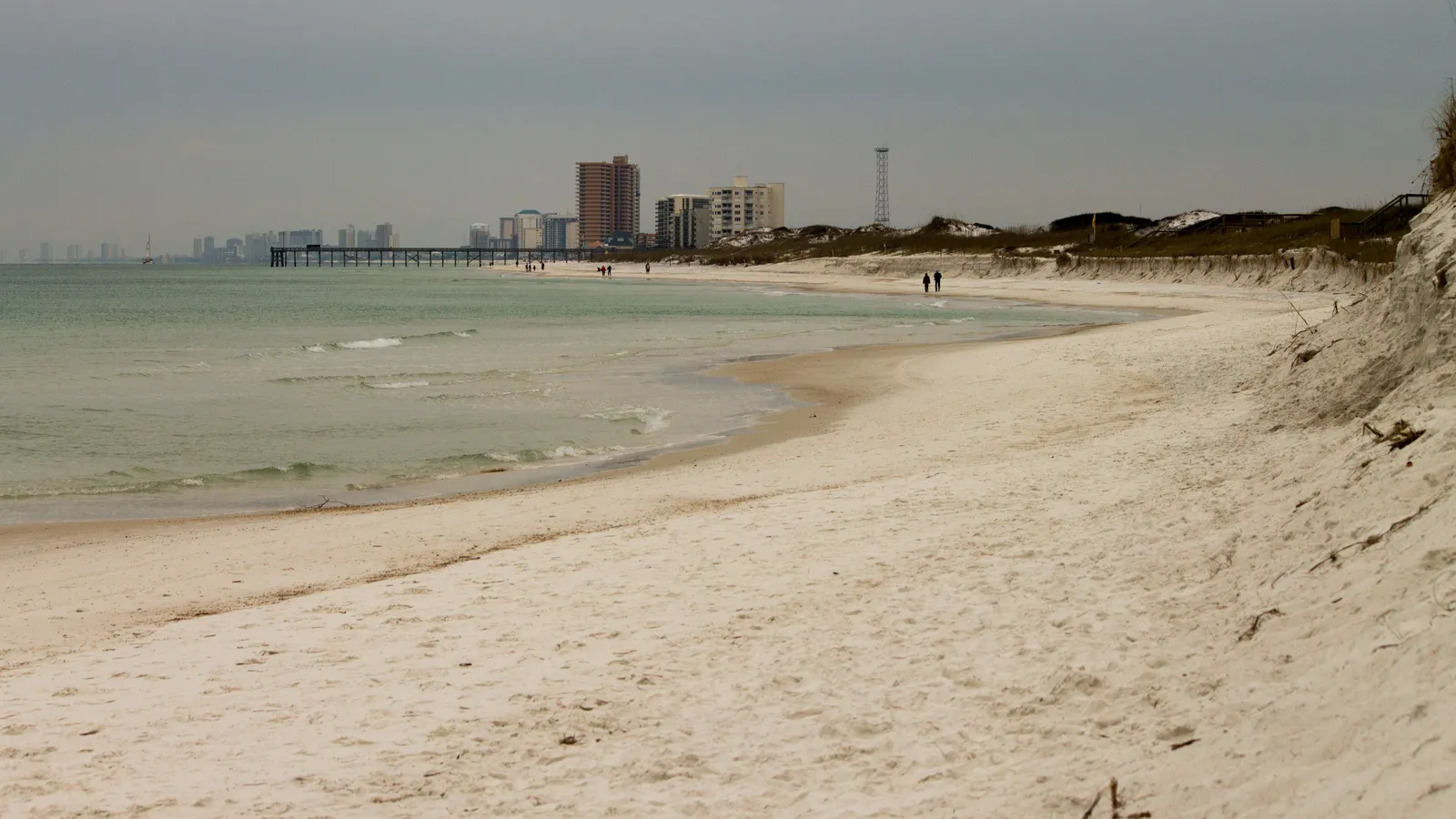
Best for: clear-water paddling and dolphin watching, for paddlers who can handle small waves. Open water.
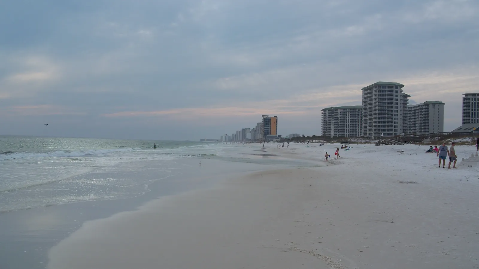
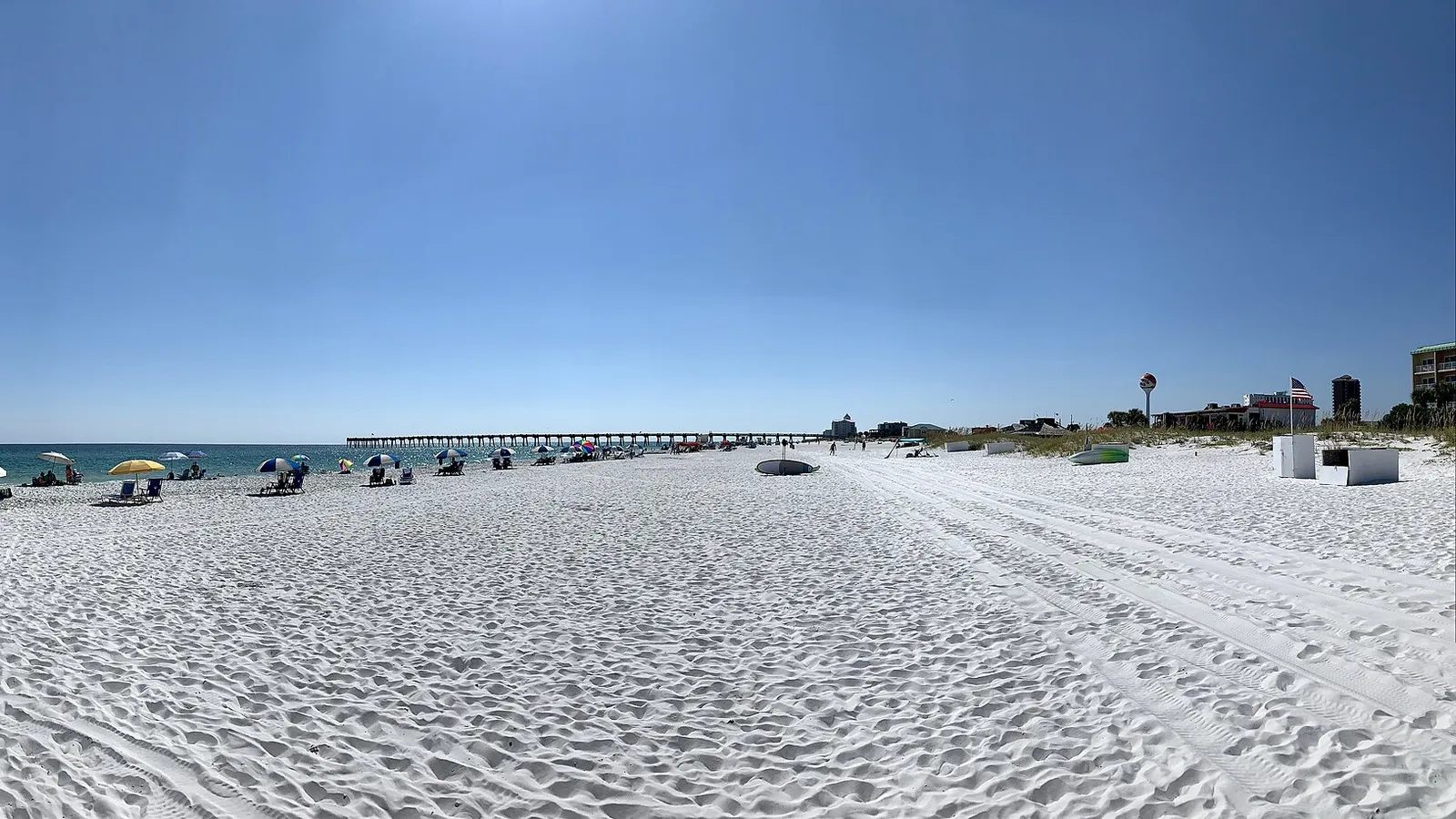
On calm summer mornings, the Gulf off Panama City Beach can be flat and so clear you can see the sand below. That’s when locals paddle along the beach. On any other day, the shore break and wind make it hard work, and rip currents are a real danger.
Where to launch: Any public beach access, or the Gulf beach at St. Andrews State Park. Launch beyond the swimmers and paddle parallel to shore.
What to avoid: Check the beach flags before you go in. When double red flags fly, the water is closed to the public, and Panama City Beach issues a $500 citation, with no warning, to anyone in the Gulf. The city’s beach safety team notes that most rescues happen in the days after a storm, when the water looks calm but rip currents are still strong.
Good to know: Purple flags mean dangerous marine life, such as jellyfish, so check them too. Read our guide to how to paddle board in the ocean before your first Gulf paddle.
When to go
You can paddle Panama City Beach most of the year. NOAA’s Panama City Beach station averages about 60°F in January, 70°F in April, 82°F in June, 85.6°F in August and 78°F in October.
- Late spring to early fall (May–October): warm water and the best chance of flat Gulf mornings. This is also the busiest time, with the most boat traffic on Grand Lagoon and at Shell Island.
- Winter (December–February): the water is in the low 60s or below, so dress for a fall in. Our wetsuit check tells you what to wear for the water and air temperature.
- Time of day: go early. Afternoon sea breezes and summer thunderstorms are common. Get off the water at the first sign of lightning.
- Hurricane season: runs June to November. Stay off the water when a storm is anywhere near, and for a few days after.
Planning a paddle down the lagoon and back? Our Trip time calculator estimates how long it will take at your pace.
Rules and safety in Panama City Beach
The Florida Fish and Wildlife Conservation Commission (FWC) treats a paddle board as a vessel when you use it outside a swimming, surfing or bathing area. That means:
- Life jacket: carry a wearable US Coast Guard–approved life jacket for each person. Children under 6 must wear one while underway. See our pick of the best PFDs for SUP.
- Sound device: carry a whistle.
- After dark: show a white light, such as a flashlight, between sunset and sunrise.
Local rules and habits:
- Double red flags close the water, with a $500 fine in Panama City Beach.
- Stay out of swim areas and away from the kiddie pool at St. Andrews State Park.
- Wear a leash in the Gulf and on any crossing.
- Give dolphins space. Don’t chase them or try to paddle alongside them; federal law bans harassing marine mammals.
- Watch for boats on Grand Lagoon and in the pass, especially on weekends.
FAQ
Where can beginners paddle board in Panama City Beach?
Grand Lagoon, launching from St. Andrews State Park, or Lake Powell at Camp Helen State Park. Both are flat and sheltered, and both state parks rent boards in season.
Can you paddle board to Shell Island?
Experienced paddlers do, from St. Andrews State Park, but the pass has strong currents and heavy boat traffic. Most people should take the Shell Island Shuttle and paddle the calm bay side of the island once they’re there.
Can you paddle board in the Gulf at Panama City Beach?
Yes, on calm days. Check the beach flags first: double red flags close the water, and you can be fined $500 for going in.
Do I need a permit to paddle board in Panama City Beach?
No permit is needed, and paddle boards don’t need registering in Florida. You’ll pay park entry at St. Andrews and Camp Helen state parks.
Is there anywhere similar nearby?
Yes. Destin is up the coast to the west; see our guide to where to paddle board in Destin. Further west, see where to paddle board in Pensacola. Not sure which board suits bay and Gulf paddling? The Board Fitter can help.