
The best place to paddle board in the Florida Keys for a first-timer is the mangrove trail at John Pennekamp Coral Reef State Park in Key Largo, where you can rent a board at the water and stay sheltered from the wind. For the most memorable paddle, launch from Robbie’s in Islamorada and cross to Indian Key, a ruined 1800s town on its own island, with snorkeling off the far side.
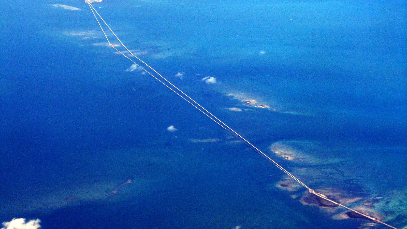
The Upper and Middle Keys work for paddling because the water is shallow, clear and warm all year, and mangroves on the bay side break the wind. The catch is that the same shallow water is exposed: there’s little shade, the trade winds can blow for days, and tides decide whether you float or walk. This guide covers Key Largo to Marathon. For Key West and the Lower Keys, including Bahia Honda, see our guide to where to paddle board in Key West.
Quick answer
- First time on a board: the mangrove trail at John Pennekamp Coral Reef State Park, with a rental from the park’s own boat center.
- Most scenic: Indian Key, a short crossing from Robbie’s in Islamorada.
- Families and wading: Anne’s Beach in Islamorada, where the water is knee-deep a long way out.
- Middle Keys: Curry Hammock State Park in Marathon, with cheap board rentals at the ranger station and a mangrove loop.
- Calmest conditions: any of these on an early morning with light wind, ideally near high tide.
The best places to paddle board in the Florida Keys
John Pennekamp Coral Reef State Park (Key Largo)
Directions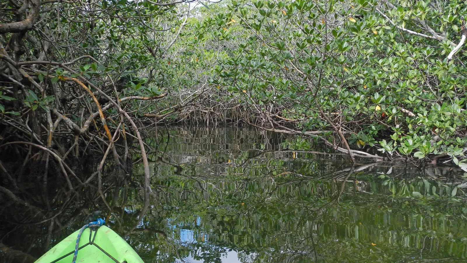
Best for: beginners, families, a sheltered mangrove paddle. Flat water in the mangroves.
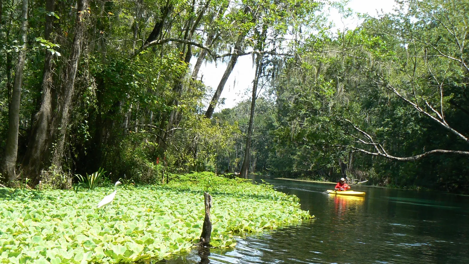
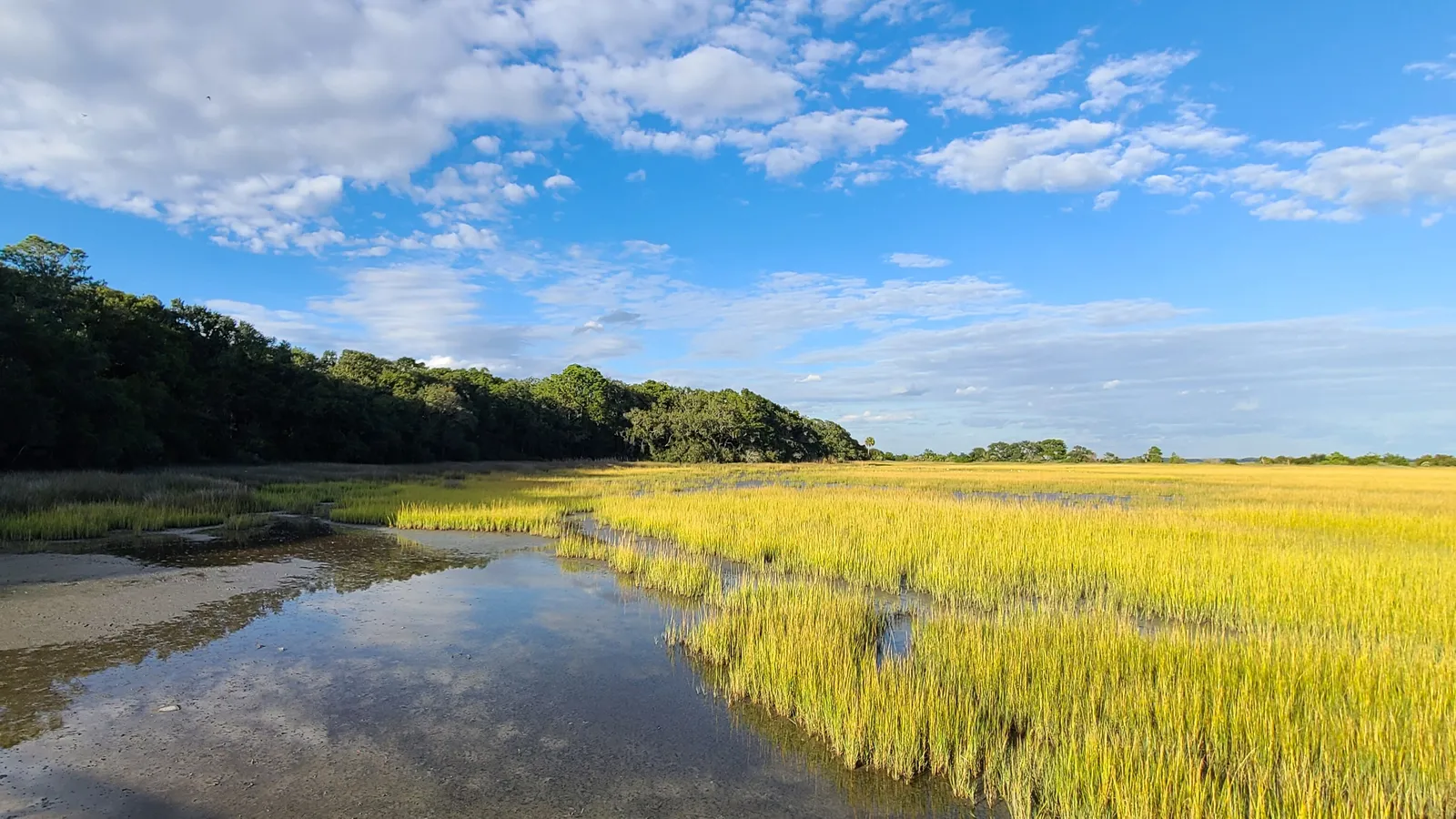
Pennekamp, at mile marker 102.5, was the first underwater park in the US and is best known for its reefs. Those reefs sit four to five miles offshore, which is too far for most people on a paddle board. The paddle board trip here is the mangroves: the park’s boat concession says Pennekamp’s waters hold about 50 miles of mangrove wilderness trails, and the main marked loop starts close to the rental dock.
Where to launch: Inside the park at 102601 Overseas Highway. You pay state park admission at the gate (around $8 per vehicle plus a small per-person county surcharge at the time of writing). Rentals and private boards launch from the park’s marina area. Stay inside the mangrove creeks and the sheltered basin rather than heading out into open water, where wind and boat traffic both pick up.
Rentals and lessons: The park’s own concession (bookable at pennekamppark.com) rents standard paddle boards for around $35 an hour or $55 for up to four hours at the time of writing, plus kayaks and canoes. Bookings are made online, and you confirm in person within an hour of your start time. The last beach rentals go out at 3:45 pm.
Good to know: The mangrove tunnels are narrow in places. A shorter paddle, or kneeling through tight bends, is easier than trying to stay standing. Bring bug spray for the tunnels on still days.
Indian Key from Robbie’s (Islamorada)
Directions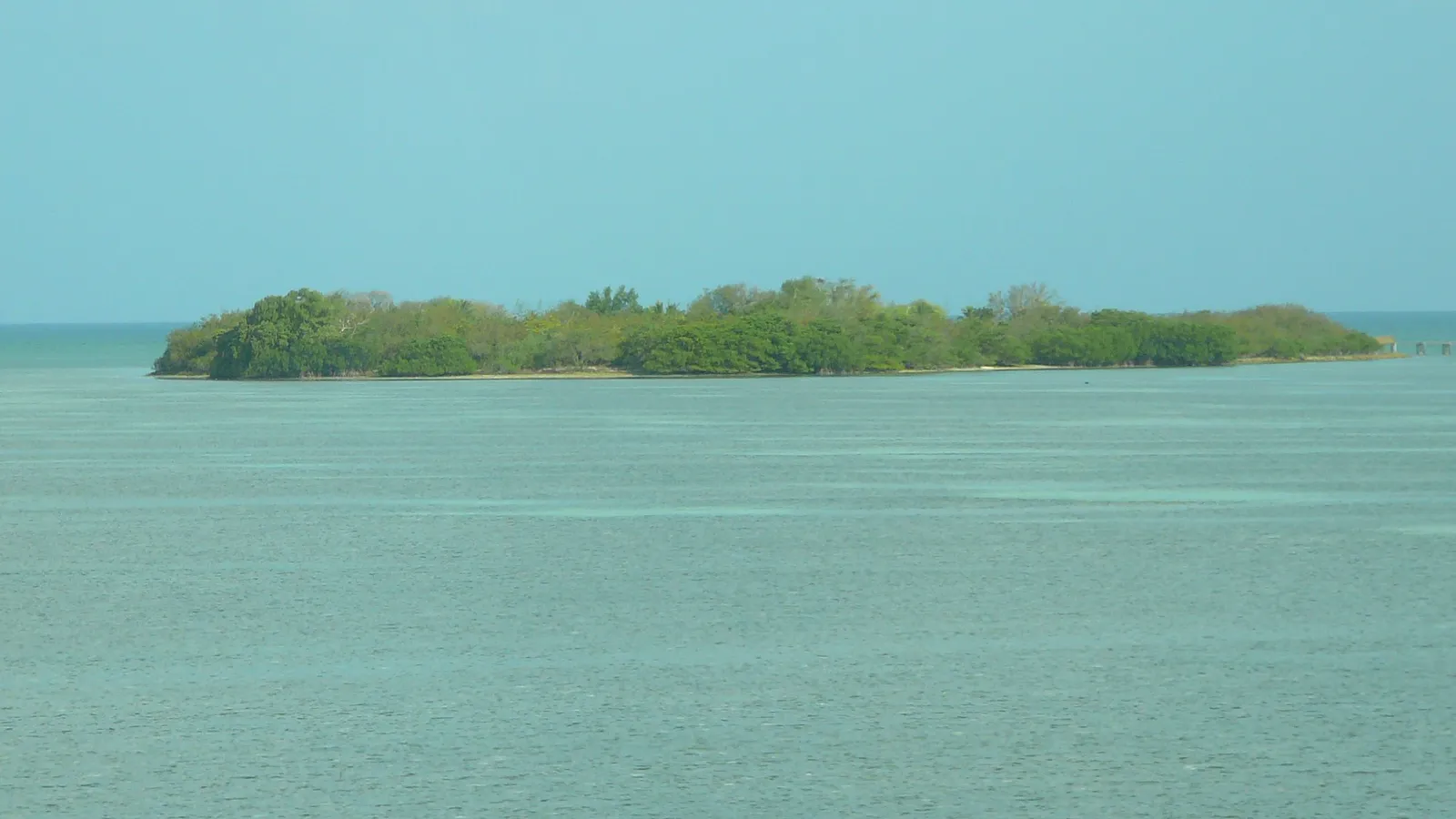
Best for: confident beginners and up who want a destination. Shallow open water, with one boat channel to cross.
Indian Key is a small island off Islamorada that was a wreckers’ settlement in the 1800s and later became a ghost town. Today it’s a state historic park reachable only by boat or paddle, where you can walk among the foundations of the old buildings. Florida Rambler puts the paddle out at 30 to 45 minutes, and once you’re past the channel at the bridge, the water is too shallow for most powerboats.
Where to launch: Robbie’s of Islamorada, at mile marker 77.5 on the bay side (77522 Overseas Highway). The old boat ramp on the Indian Key Fill is closed after storm damage, and parking along the fill has been banned during restoration work, so launching from Robbie’s or with a Robbie’s rental is the simple option. Robbie’s is on the bay side, so you paddle under the Overseas Highway bridge to reach Indian Key on the ocean side. Cross the channel at the bridge quickly and look both ways for boats.
Rentals and lessons: The Kayak Shack at Robbie’s rents kayaks and stand-up paddle boards and runs guided trips to Indian Key and to Lignumvitae Key, a botanical state park on the bay side.
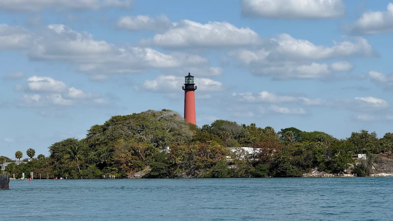
Good to know: The best snorkeling is on the ocean side of the island, looking toward the Alligator Reef Lighthouse, and the water is clearer near high tide. Bring a dry bag for a mask and water. Check the wind before you go: a strong breeze against you makes the paddle home much harder.
Anne’s Beach (Islamorada)
Directions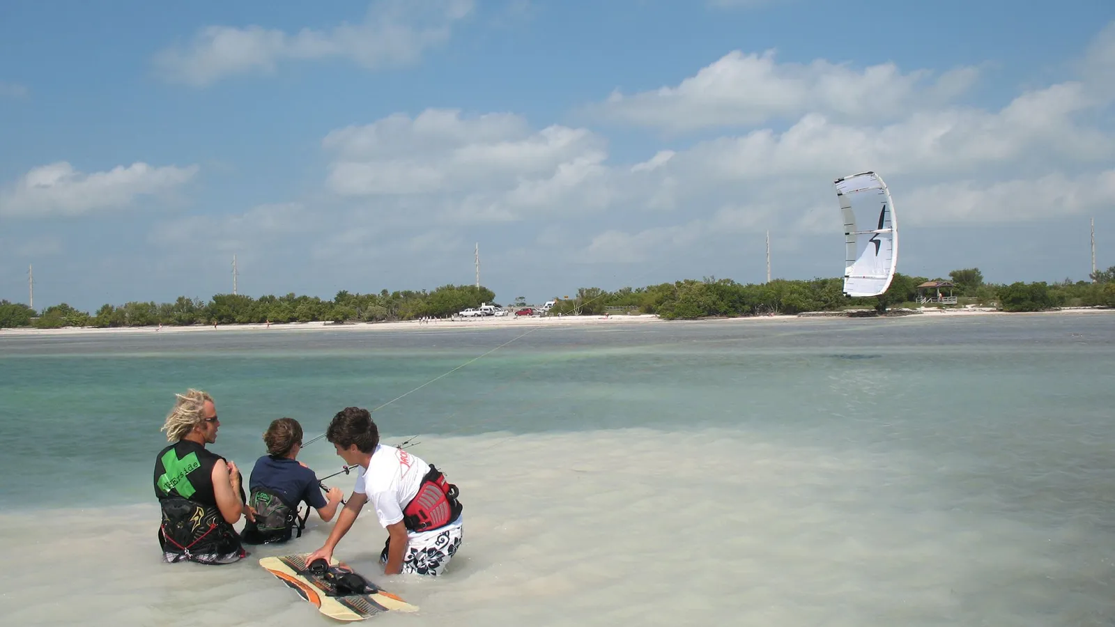
Best for: families, nervous beginners, kids on boards. Very shallow flats on the ocean side.
Anne’s Beach, at mile marker 73.5, is a free Monroe County beach with a long boardwalk through the mangroves and covered picnic tables. Its defining feature is depth: you can wade a long way out and still be knee-deep, and a wide sandbar shows at low tide. That makes falling off a non-event, which is exactly what a first paddle needs.
Where to launch: Carry your board from either of the two small parking lots on the Overseas Highway, about a quarter of a mile apart and joined by the boardwalk. Both fill early on weekends. There are restrooms at the beach.
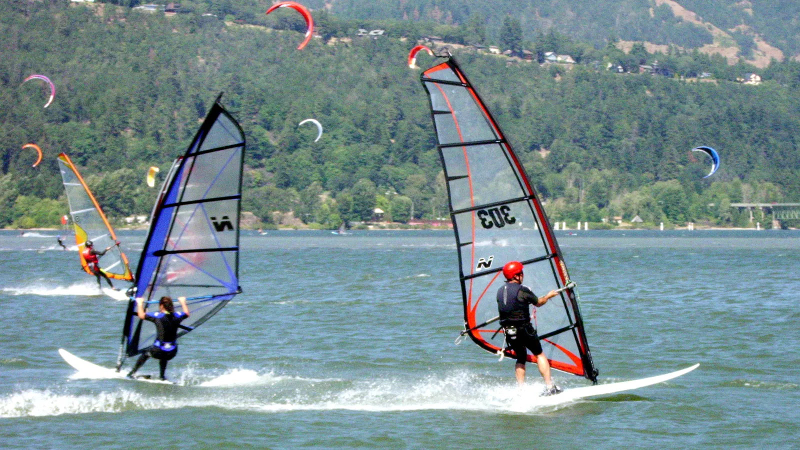
Good to know: The same shallow, open water is popular with kiteboarders and windsurfers on breezy days, which is a good sign it’ll be too windy for comfortable paddling. Go on a calm morning, near high tide, so your fin doesn’t drag on the bottom. Leashed dogs are allowed at the beach.
Curry Hammock State Park (Marathon)
Directions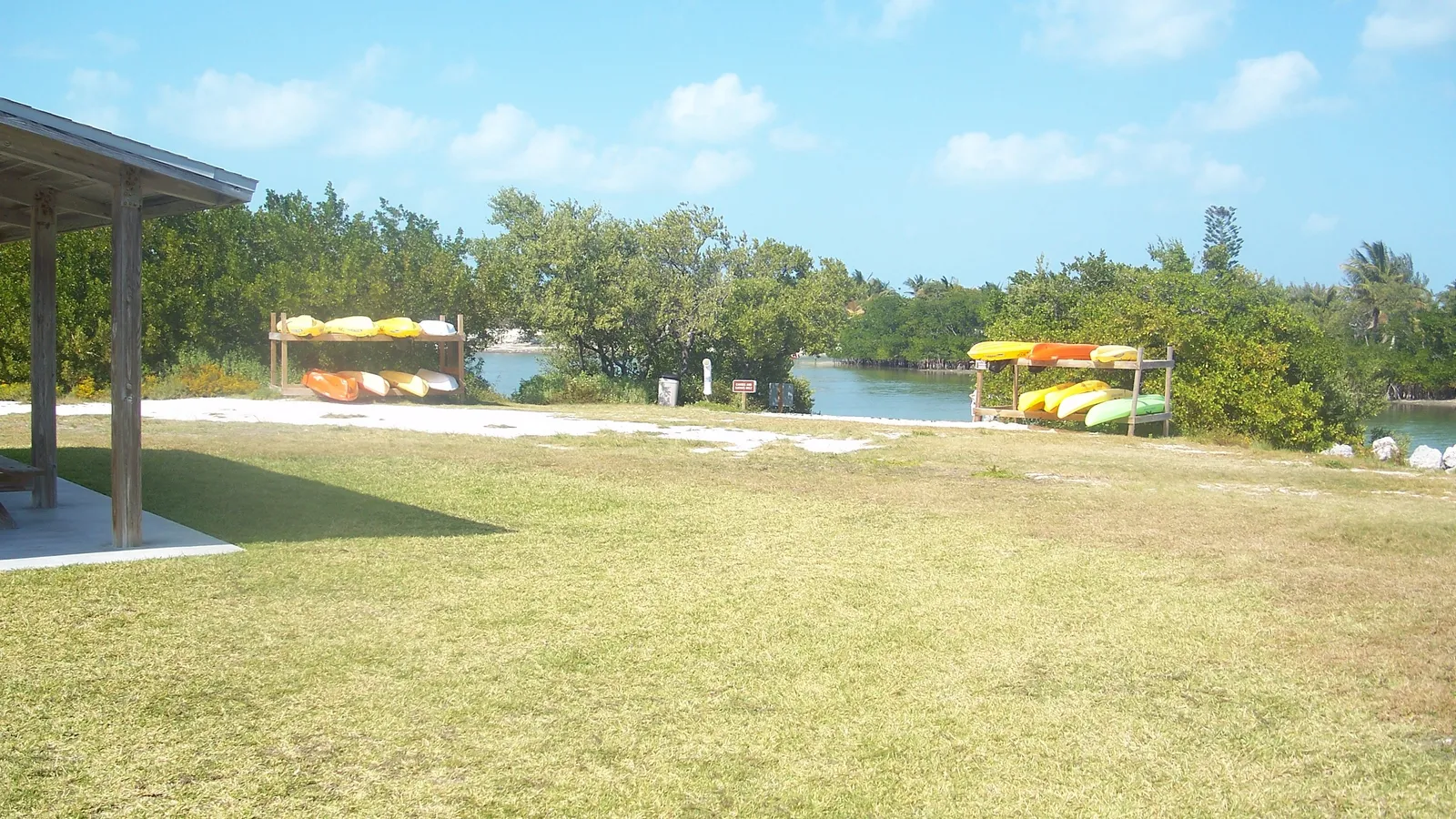
Best for: Middle Keys visitors, a mangrove loop with a short open-water section. Mostly flat water.
Curry Hammock sits at mile marker 56 near Marathon and is the largest undeveloped stretch of land between Key Largo and Big Pine Key. Its paddling trail circles Little Crawl Key in about 1.5 miles, passing through a mangrove tunnel, a deep lagoon, grassy flats and sandbars before a stretch on the open ocean side. Plan on about an hour.
Where to launch: Inside the park at 56200 Overseas Highway, from the day-use area or the campground. State park admission applies.
Rentals and lessons: The park rents kayaks and stand-up paddle boards at the ranger station, at about $22 for two hours on a board at the time of writing, which is cheaper than most private shops in the Keys. Florida Rambler reports a ranger-led kayak tour on Wednesday mornings; call the park to check.
Good to know: Ask the rangers about the tide. At the lowest tides the mangrove trail is too shallow to paddle. The lagoon holds lots of upside-down jellyfish; they’re harmless to look at, but don’t handle them.
When to go
You can paddle the Keys year-round. Water temperature is rarely the problem; wind and heat are.
NOAA’s long-term averages at Vaca Key in Marathon range from about 71°F in January to 89°F in July and August. Blackwater Sound by Key Largo follows the same pattern, from about 72°F in January to 89°F in July. Most people paddle in a swimsuit and rash guard; on a breezy winter day a thin top helps. Our wetsuit check uses water and air temperature to tell you what to wear.
- Winter and spring (December–May): the busiest season, with drier air. Cold fronts can bring several days of strong wind, so have a mangrove backup plan.
- Summer (June–September): the calmest mornings, but hot, humid and buggy, with afternoon thunderstorms. Be off the water before storms build.
- Hurricane season: officially June 1 to November 30. Watch the forecast, and expect parks to close before a storm.
- Time of day and tide: go early, before the wind builds, and aim for the higher half of the tide on the flats and in the mangroves.
Planning a crossing such as Robbie’s to Indian Key? Our Trip time calculator estimates how long it’ll take at your pace.
Rules and safety in the Florida Keys
Florida treats a paddle board as a vessel once you’re outside a swimming, surfing or bathing area. According to the Florida Fish and Wildlife Conservation Commission (FWC):
- Life jacket: carry a US Coast Guard–approved wearable life jacket for each person. Anyone under 6 must wear one while underway. See our pick of the best PFDs for SUP.
- Sound device: carry a whistle or horn.
- After dark or in poor visibility: have a white light, such as a flashlight, ready to show in time to prevent a collision.
On top of that, almost all the water around the Keys is part of the Florida Keys National Marine Sanctuary:
- Respect marked zones. The sanctuary has dozens of wildlife management areas, marked with buoys or signs. Some are idle-speed or no-motor zones, which are fine for paddlers, but some are no-entry, often to protect bird nesting islands. If a sign says no entry, it includes you.
- Don’t drag across seagrass or coral. If the water is too shallow to paddle, step off onto sand or turn back. Never stand on coral.
- Give wildlife room. Manatees, rays, sea turtles and wading birds are common in the shallows.
- Wear a leash on open water, and take water and sun protection. There’s very little shade.
FAQ
Where can beginners paddle board in the Florida Keys?
The mangrove trail at John Pennekamp Coral Reef State Park is the easiest, because it’s sheltered and you can rent a board at the launch. Anne’s Beach is good for a first wobble, since it’s shallow enough to stand up almost anywhere.
Can you paddle board to Indian Key?
Yes. Most people launch or rent at Robbie’s in Islamorada and paddle about 30 to 45 minutes to the island, crossing one boat channel at the bridge. Go on a calm morning, and consider a guided trip from Robbie’s the first time.
Can you paddle board to the reef at Pennekamp?
Not realistically. The reefs are four to five miles offshore, in open water with boat traffic. Take a snorkel or glass-bottom boat trip to the reef, and paddle the mangroves instead.
Do I need a permit to paddle board in the Keys?
No permit is needed to paddle, but you pay state park admission at Pennekamp and Curry Hammock. You must follow Florida Keys National Marine Sanctuary rules, including staying out of no-entry zones.
Is there anywhere similar nearby?
Keep driving south and you’ll reach Bahia Honda and Key West; see where to paddle board in Key West. Heading north, see where to paddle board in Miami. Not sure what board suits shallow, windy water? Try our Board Fitter.