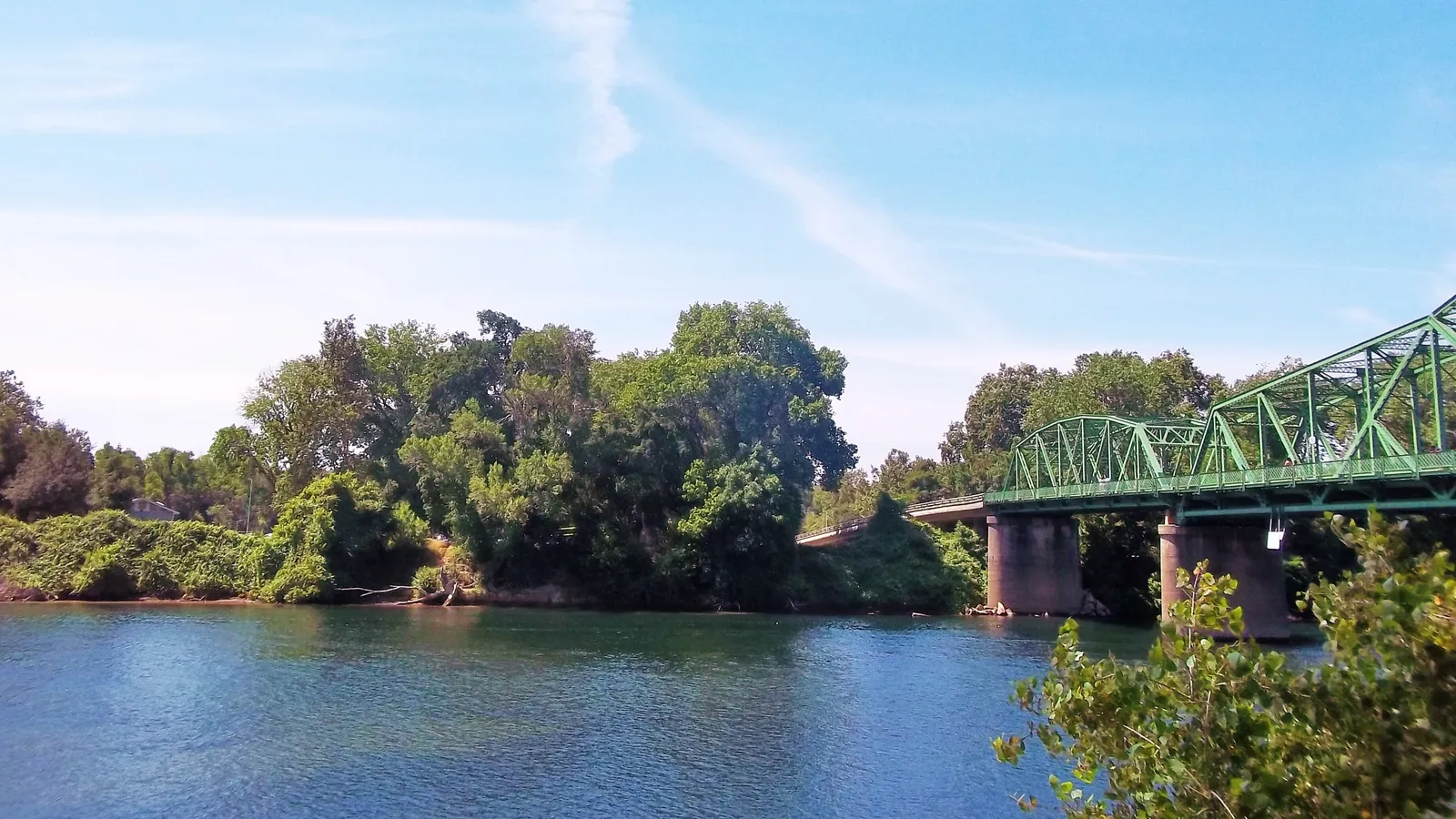
Lake Natoma is the best place to paddle board in Sacramento if you’re a beginner: it’s calm, the whole lake has a 5 mph speed limit, and Sac State’s Aquatic Center rents boards right on the shore. For a classic Sacramento day, paddle the lower American River from Sunrise down to River Bend Park, or explore the slow end of the river at Discovery Park, where it meets the Sacramento.
Sacramento sits where two big rivers meet, at the top of the Delta, so there’s moving river water, flat lake water and tidal sloughs all within about an hour. Summers are long and hot, which makes paddling popular. The catch is the water: the American River comes out of Folsom and Nimbus dams cold and can run fast, so plan around flows, not just the weather.
Quick answer
- First time on a board: Lake Natoma, renting from the Sacramento State Aquatic Center.
- The local classic: the lower American River float from Sunrise to River Bend Park, in summer at normal flows.
- Close to downtown: Discovery Park, where you can paddle the slow lower American River.
- Wildlife and quiet water: the Cosumnes River Preserve, a free launch on a Delta river south of town.
- A lake with no gas boats: Rancho Seco Lake, about 25 miles southeast of the city.
The best places to paddle board in Sacramento
Lake Natoma
Directions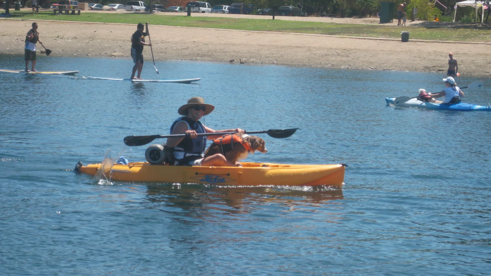
Best for: beginners, rentals, evening paddles. Flat water.
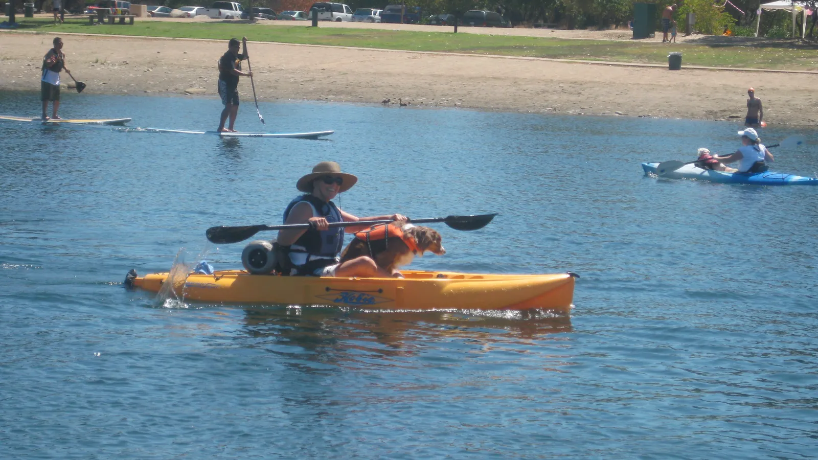
Lake Natoma is the reservoir on the American River between Folsom Dam and Nimbus Dam. It’s about 4 miles long and around 500 acres, and the whole lake has a 5 mph speed limit, so there are no ski boats and no big wakes. It’s popular with rowing crews and kayakers as well as paddle boarders.
Where to launch and rent: Start at Nimbus Flat, at the south end of the lake by Hazel Avenue and Highway 50 (parking fee). The Sacramento State Aquatic Center (1901 Hazel Ave, Gold River) is right beside it and rents stand-up paddle boards to the public for $18 an hour at the time of writing, life jackets included. One person in each group must be 18 or older with photo ID, rentals are first come, first served, and hours change with the season.
Good to know: Give rowing shells plenty of room; they’re long, fast and can’t see well ahead. For other launches on Lake Natoma and for Folsom Lake just upstream, see our guide to where to paddle board in Folsom.
Discovery Park (American River confluence)
Directions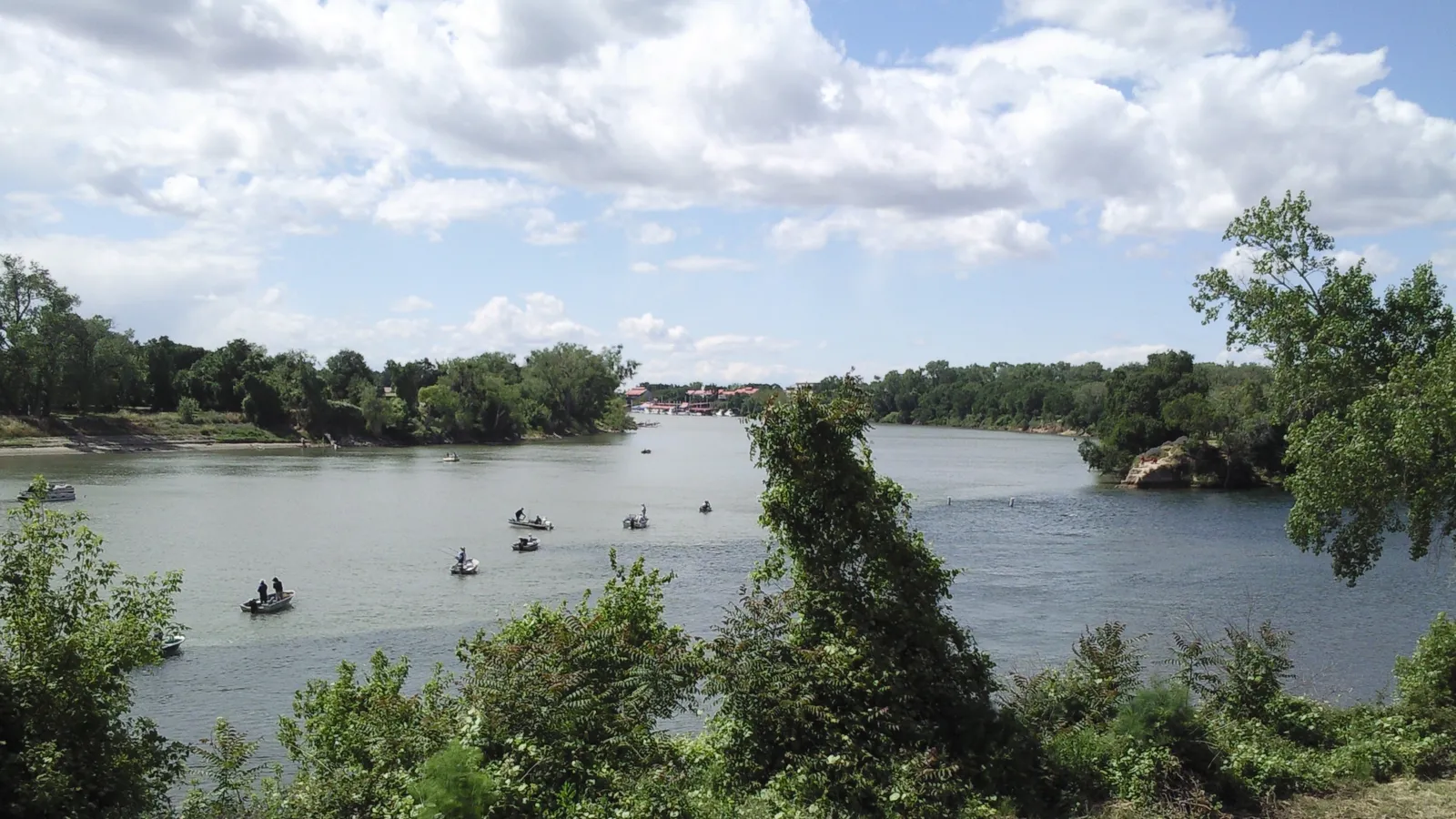
Best for: a quick paddle close to downtown, for paddlers who can handle a light current. Slow river water.
Discovery Park is the Sacramento County park at the point where the American River flows into the Sacramento River, at 200 Jibboom Street just north of downtown. The last stretch of the American is wide and usually slow here, so you can paddle upstream along the tree-lined banks and drift back down.
Where to launch: The park has a six-lane boat ramp plus car-top launching on the American River shore. Parking is $8 per vehicle at the time of writing, collected year-round. The park is open sunrise to sunset.
What to avoid: Don’t head out onto the Sacramento River unless you’re experienced. It’s a big river with a stronger current and powerboat traffic, and the confluence is where those meet. The boat ramp is busy on summer weekends, so launch off to the side and keep clear of trailers.
Good to know: Discovery Park is designed to flood in winter to take pressure off the levees, so it can be underwater during high water. Alcohol is banned in the park year-round. There are two free “Kids Don’t Float” life jacket loaner stations here.
Lower American River (Sunrise to River Bend Park)
Directions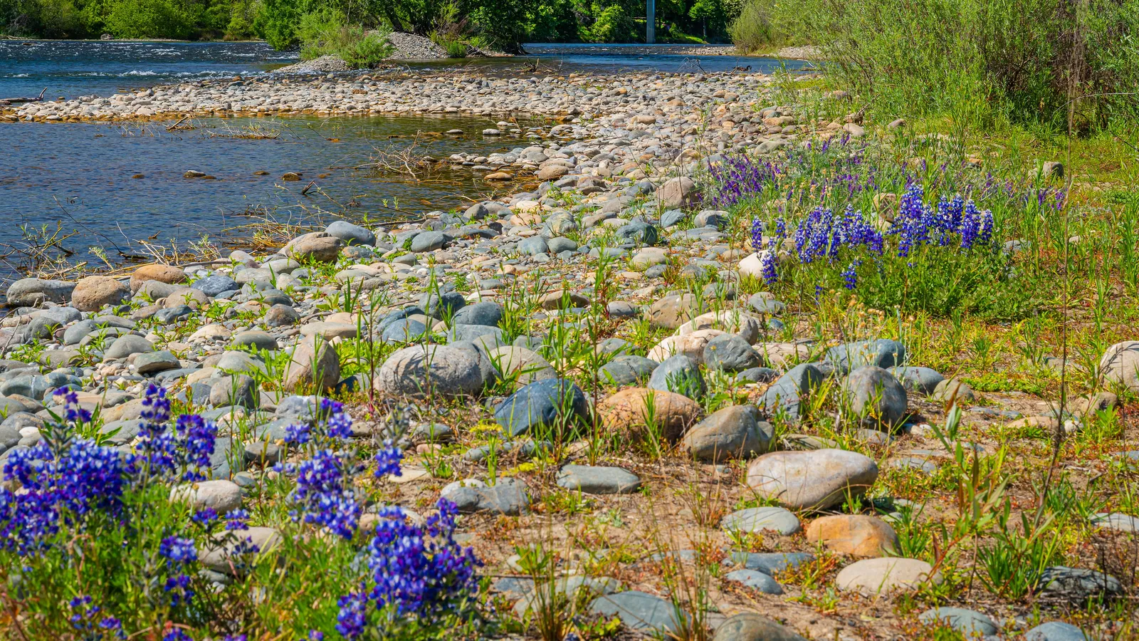
Best for: confident paddlers who want a river trip, in summer. River current with a few riffles.
The float from Sunrise Recreation Area down to River Bend Park is Sacramento’s most popular stretch of river. It’s roughly 5 to 6 miles of mostly easy Class I water through the American River Parkway, with gravel bars, herons and ducks, and plenty of rafts on summer weekends. Rafting guides rate the run Class I–II, with one notable feature, San Juan Hole, which kayakers use as a surf wave.
Where to launch: Put in at Sunrise Recreation Area (Lower Sunrise, off Sunrise Boulevard) and take out at River Bend Park in Rancho Cordova, or further down at William Pond Park. You’ll need two cars or a shuttle.
What to avoid: Check the flow before you go. A normal summer release from Nimbus Dam is around 2,000 cubic feet per second or less, but Sacramento County has warned people off the river in big snowmelt years when releases climbed past 8,000 cfs. At high flows the current is too fast and cold for a paddle board. Kneel through riffles, watch for downed trees along the banks, and wear a leash that you can release quickly; a river leash should attach at the waist rather than the ankle.
Good to know: Glass is banned on the Parkway year-round. Alcohol is banned between Hazel and Howe avenues over Memorial Day, Fourth of July and Labor Day weekends, and permanently at several river access points.
Cosumnes River Preserve
Directions
Best for: wildlife, quiet water, a half-day explore. Slow, tidally influenced river.
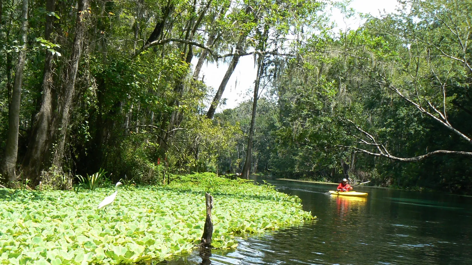
The Cosumnes River Preserve, off Franklin Boulevard about 20 miles south of downtown, covers more than 50,000 acres of wetlands, grassland and valley oak forest. The BLM calls the Cosumnes the last free-flowing river running from the Sierra Nevada into the Central Valley, and this lower stretch winds through marsh and oak woodland. More than 250 bird species use the preserve, including sandhill cranes.
Where to launch: Park in the upper lot near the visitor center and walk about 200 yards to the preserve’s boat launch, southwest of the visitor center. A board cart or wheels helps. Parking and launching are free, motorboats can’t launch here, and the preserve is open sunrise to sunset.
Good to know: The water level can rise and fall by up to 12 feet. At low tide the ramp is steep, so it’s easier to launch nearer high tide. After storms the river can run fast, so skip it for a few days after heavy rain. No pets are allowed, apart from leashed service dogs.
Rancho Seco Lake
Directions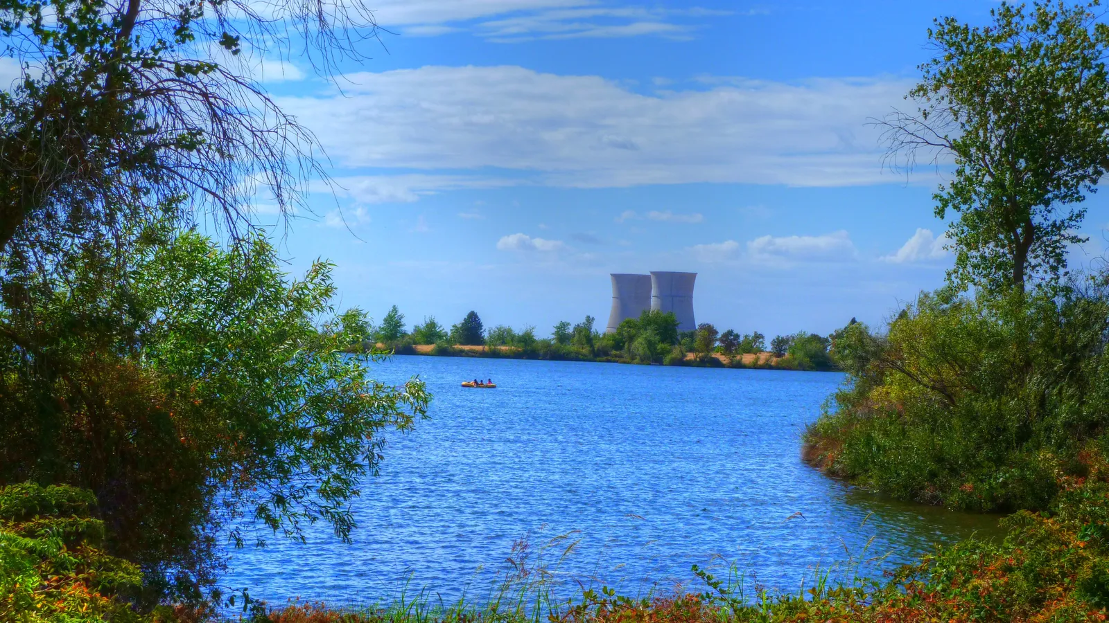
Best for: families and a lake day with no gas boats. Flat water.
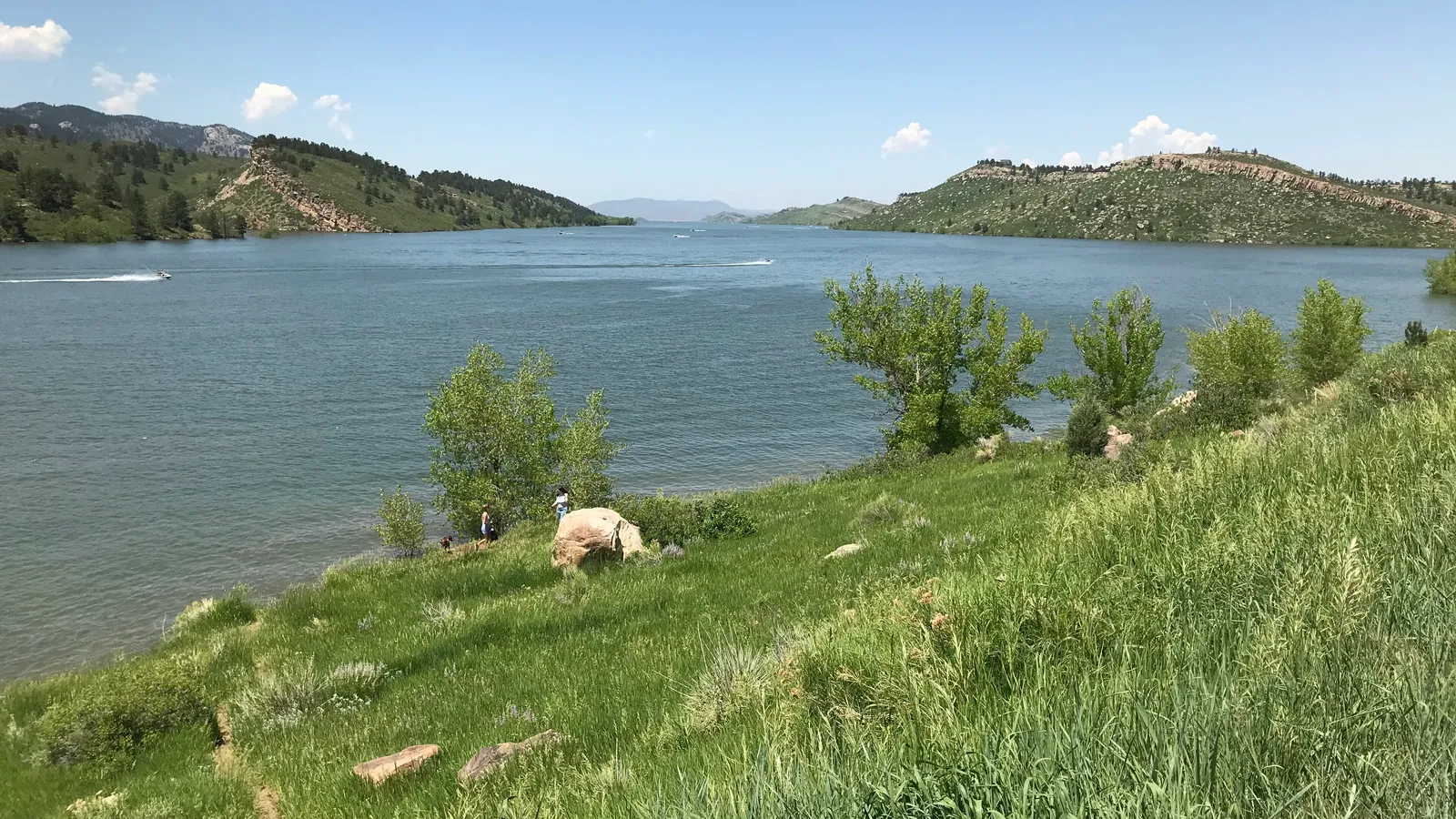
Rancho Seco is a SMUD recreation area near Herald, about 25 miles southeast of Sacramento, built around a 160-acre lake beside the old Rancho Seco power plant. Boats are limited to electric motors, the lake is fed by the Folsom South Canal so it stays at a steady level all year, and there’s a roped-off swimming beach.
Where to launch: Two boat ramps serve the lake, and you can carry a board in from the shore. Expect a day-use fee; check SMUD’s current rates before you go.
Good to know: The lake is open and gets breezy on summer afternoons, so mornings are calmer. Stay outside the roped swim area.
When to go
Sacramento’s paddling season runs from late spring to early fall, when the air is hot and the rivers are at summer flows. Summer afternoons often top 90°F, so go early and bring more water than you think you need.
The water is a different story. The American River is fed by releases from Folsom and Nimbus dams, and Sacramento County says it’s typically in the high 50s to low 60s°F in early summer, and in the upper 40s to low 50s°F in big snowmelt years. That’s cold enough to cause cold-water shock if you fall in, even on a 100°F day. Lake Natoma takes the same cold water. The Cosumnes and Rancho Seco Lake warm up more in summer.
- Late spring: check flows. High releases can make the American River unsafe into June in wet years.
- Summer (June–September): the main season. Weekends at Sunrise and Discovery Park are crowded.
- Fall and winter: quieter and cooler. Rivers can rise fast after storms, and Discovery Park can flood.
- Wind: Delta breezes pick up in the afternoon, mostly at Rancho Seco, the Cosumnes and the open Sacramento River.
Not sure what to wear for cold water on a hot day? Our wetsuit check weighs water and air temperature. For a river run like Sunrise to River Bend, the Trip time calculator helps you plan the shuttle.
Rules and safety in Sacramento
California treats a paddle board as a vessel. According to the state’s Division of Boating and Waterways:
- Life jacket: carry a US Coast Guard–approved life jacket for each person. Children under 13 must wear one while underway. On a cold river, wearing one is the smart move at any age. See our pick of the best PFDs for SUP.
- Sound device: carry a whistle.
- After dark: have a white light, such as a bright flashlight, ready to show in time to prevent a collision.
Local rules and habits on top of that:
- Check river flows before any American River paddle, and stay off when the county issues high-water warnings.
- Borrow a life jacket for kids: free “Kids Don’t Float” loaner stations sit along the American River Parkway, including at Discovery Park and Sunrise.
- No glass on the Parkway, and no alcohol at Discovery Park or, on the three summer holiday weekends, between Hazel and Howe avenues.
- Leash choice matters: in moving water, use a quick-release waist leash, not an ankle leash that could snag.
- Respect speed and wake zones: Lake Natoma is 5 mph throughout. Give rowing shells plenty of room.
FAQ
Where can beginners paddle board in Sacramento?
Lake Natoma. It’s flat, there’s a 5 mph limit for boats, and the Sacramento State Aquatic Center rents boards with life jackets at Nimbus Flat.
Can you paddle board the American River?
Yes, at normal summer flows. The Sunrise to River Bend Park float is the most popular stretch, with mostly easy current and a few riffles. Check the Nimbus Dam release first, wear a life jacket, and kneel if a riffle looks bigger than you’re comfortable with.
Do I need a permit to paddle board in Sacramento?
No. You pay for parking at county and state parks, such as $8 a vehicle at Discovery Park and a fee at Nimbus Flat, but there’s no paddling permit. The Cosumnes River Preserve launch is free.
Can I bring my dog paddle boarding in Sacramento?
Not at the Cosumnes River Preserve, which bans pets apart from service dogs. Lake Natoma and the American River Parkway are better options, but check each park’s leash rules and remember the water is cold. Read how to paddle board with a dog first.
Is there anywhere similar nearby?
For Lake Natoma and Folsom Lake in more detail, see where to paddle board in Folsom; for clear mountain water a couple of hours east, see where to paddle board in Lake Tahoe. Still deciding what board to get for rivers and lakes? Try the Board Fitter.